For the definition and management of the Tonle Sap area, the Ministry of Land Management, Urban Planning and Construction has received the task from the Royal Government of Cambodia to lead a committee to register the land in the Tonle Sap area, both state land and private land owned by citizens, in order to preserve the flooded forests and the entire Tonle Sap Lake.
As a result, the registration of the Tonle Sap area has been achieved so far as follows:
A. Land in Zone 3: A flooded forest area that must be protected and absolutely prohibited from being disturbed (state land)
Registered land in Zone 3 as state land, ready for Kampong Chhnang and Banteay Meanchey provinces.
B. Land in Zone 2: A flooded plain area during the rainy season, which can only be provided as a right of use and benefit to citizens who have cultivated crops as a family (state land). The land used and benefitted by citizens in Zone 2 has been measured to be more than 160,000 plots, equivalent to 80% of the estimated 200,000 plots.
C. Land Area 1: A rural area of citizens that can be given as ownership (private ownership)
760,000 plots of land have been measured, equivalent to 88% of the estimated 860,000 plots of land, and 580,000 plots of land have been issued to citizens.
For the future direction, the working group of the Ministry of Land Management, Urban Planning and Construction will continue to measure and complete the land plots in the Tonle Sap region in 2025 and continue to implement the procedures for registering and issuing land certificates for both state and private land of citizens.
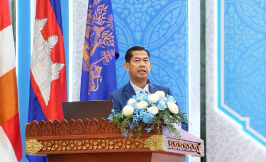
Conference on the results of the work of 2024 and the direction of the work of the Ministry of Land Management, Urban Planning and Construction for 2025
November 25, 2024